

Overview
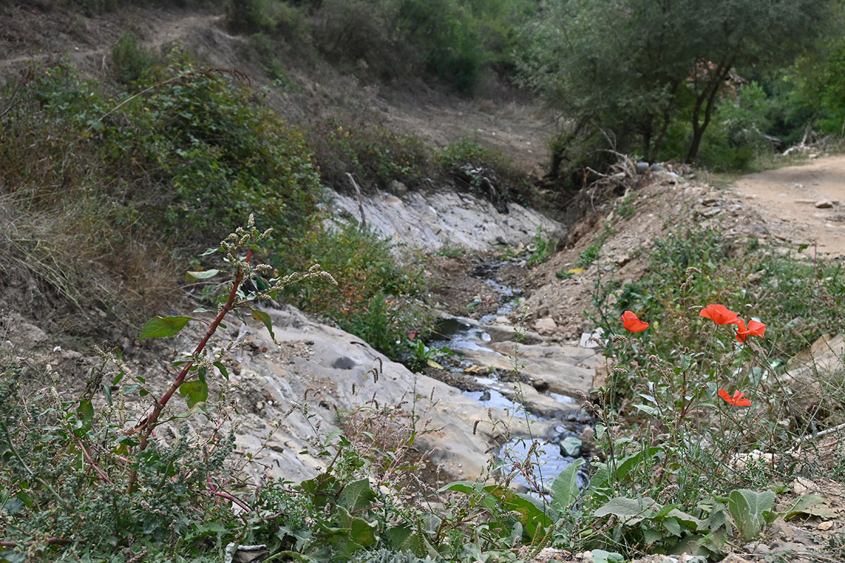
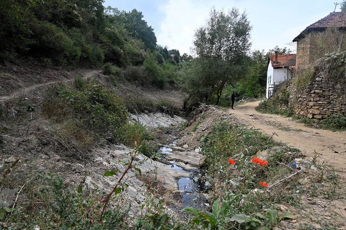
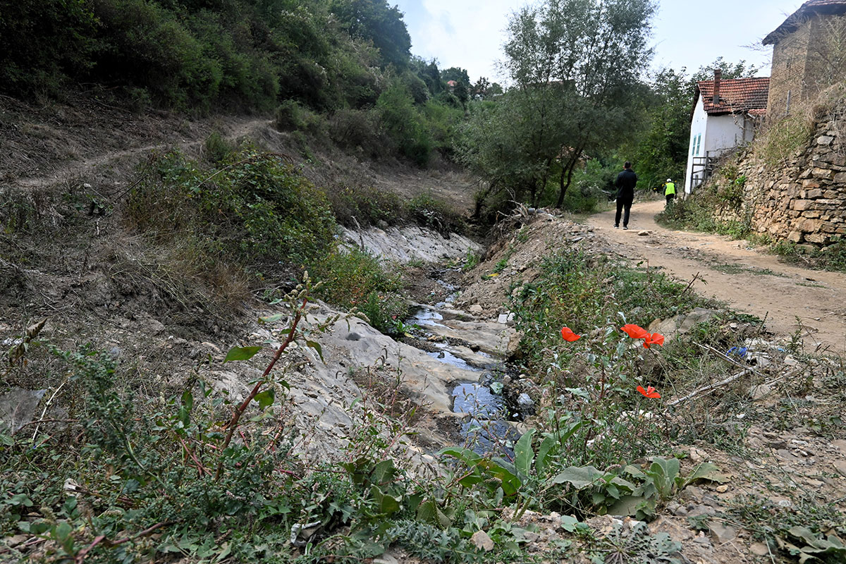
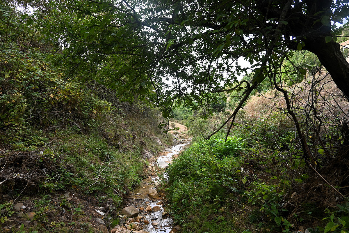
Janjevka River flows through Gornja and Donja Gusterica (Upper and lower Gusterica) and pours into river Sitnica in Lipjan/Lipljan. Janjevka River dries up during summer periods, especially at high temperatures, so water flows only during winter periods.
UN-Habitat. (2014-2029). MUNICIPAL DEVELOPMENT PLAN. Gracanica: Municipality of Gracanica
Georeference: 42.579697 , 21.254494
Plus Code – Google Maps: 8GJ3H7H3+VQ
Category: Nature
Subcategory: River
Legal protection status: No
Is it used for tourism? Yes
Is there potential for tourism in the future? Yes
Road infrastructure to the location: Good
Signs and orientation to the location: There are no road signs
Boards on site: There is no board at all


Get Directions
Visited 379 times, 2 Visits today


