Veletini – The Viewpoint of Janjevë/Janjevo

8GJ3H6MV+G6

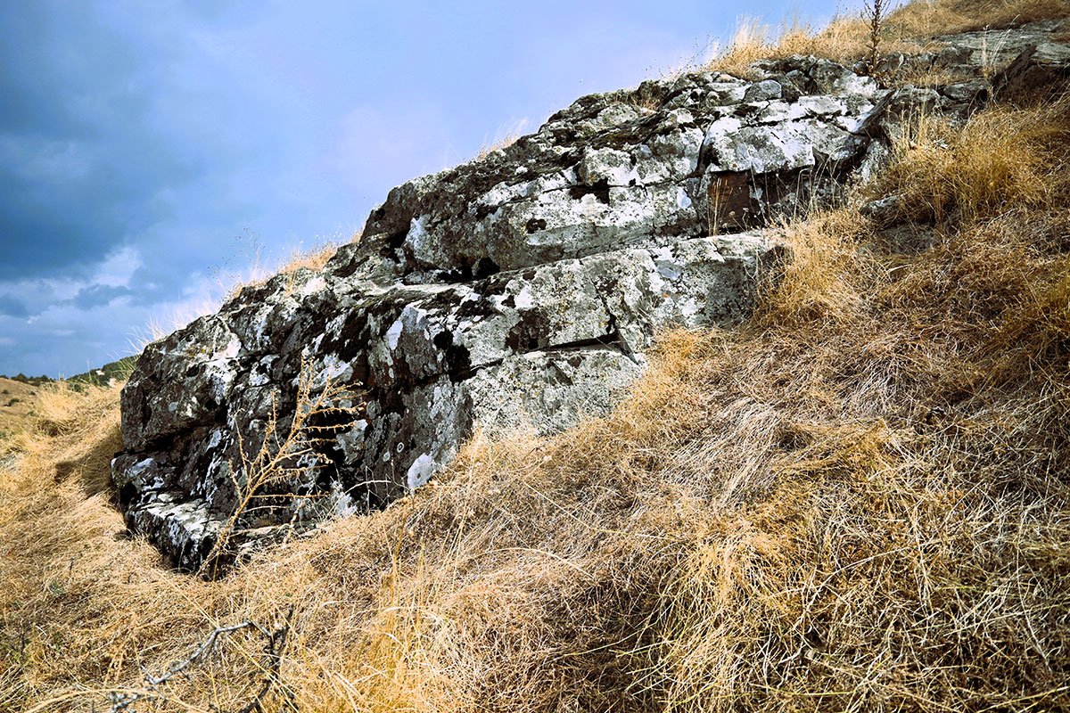
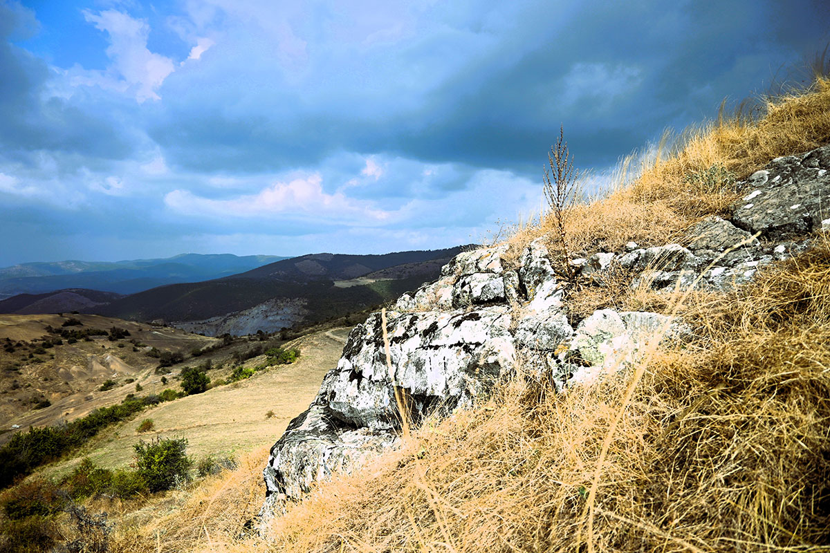
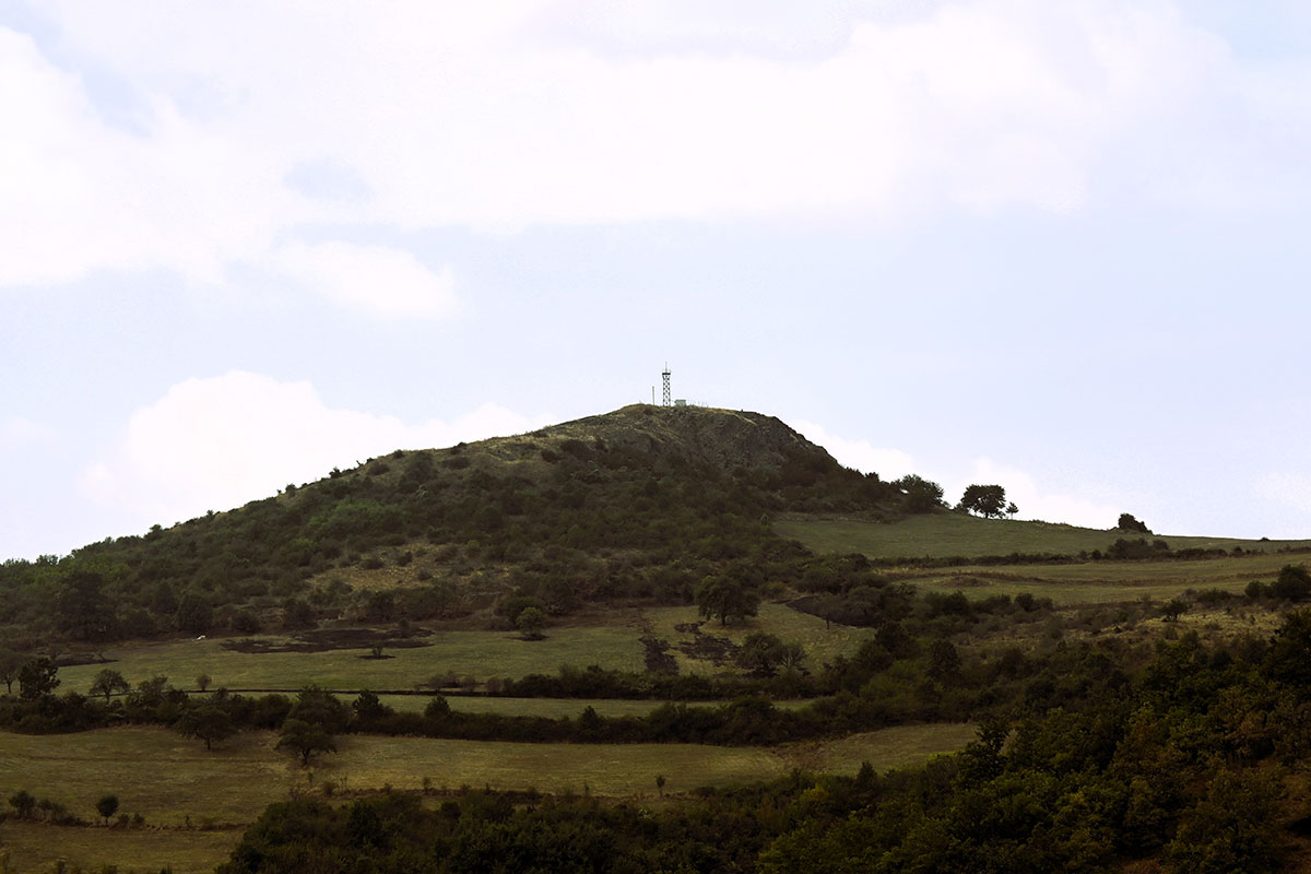
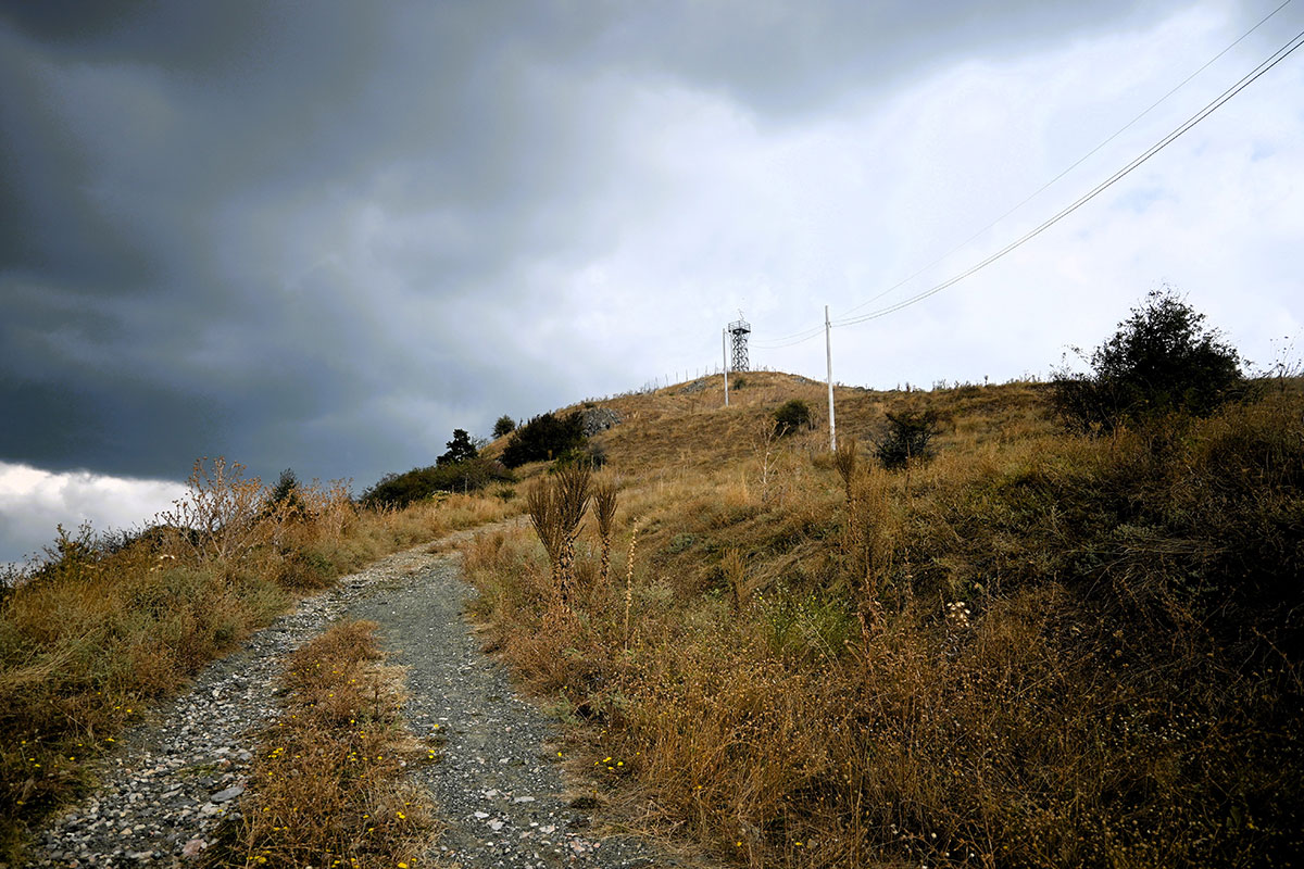
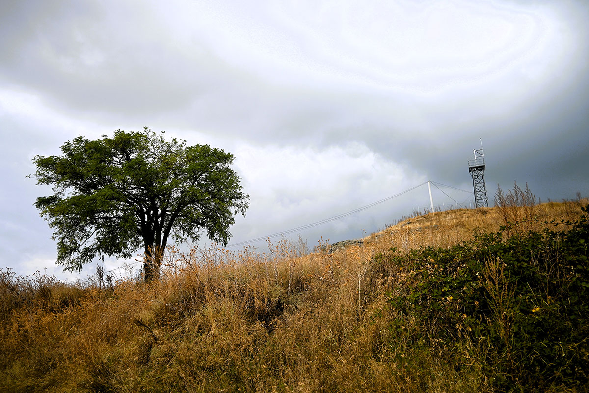
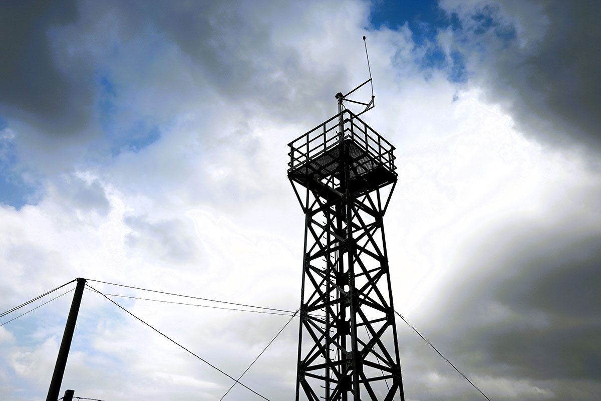
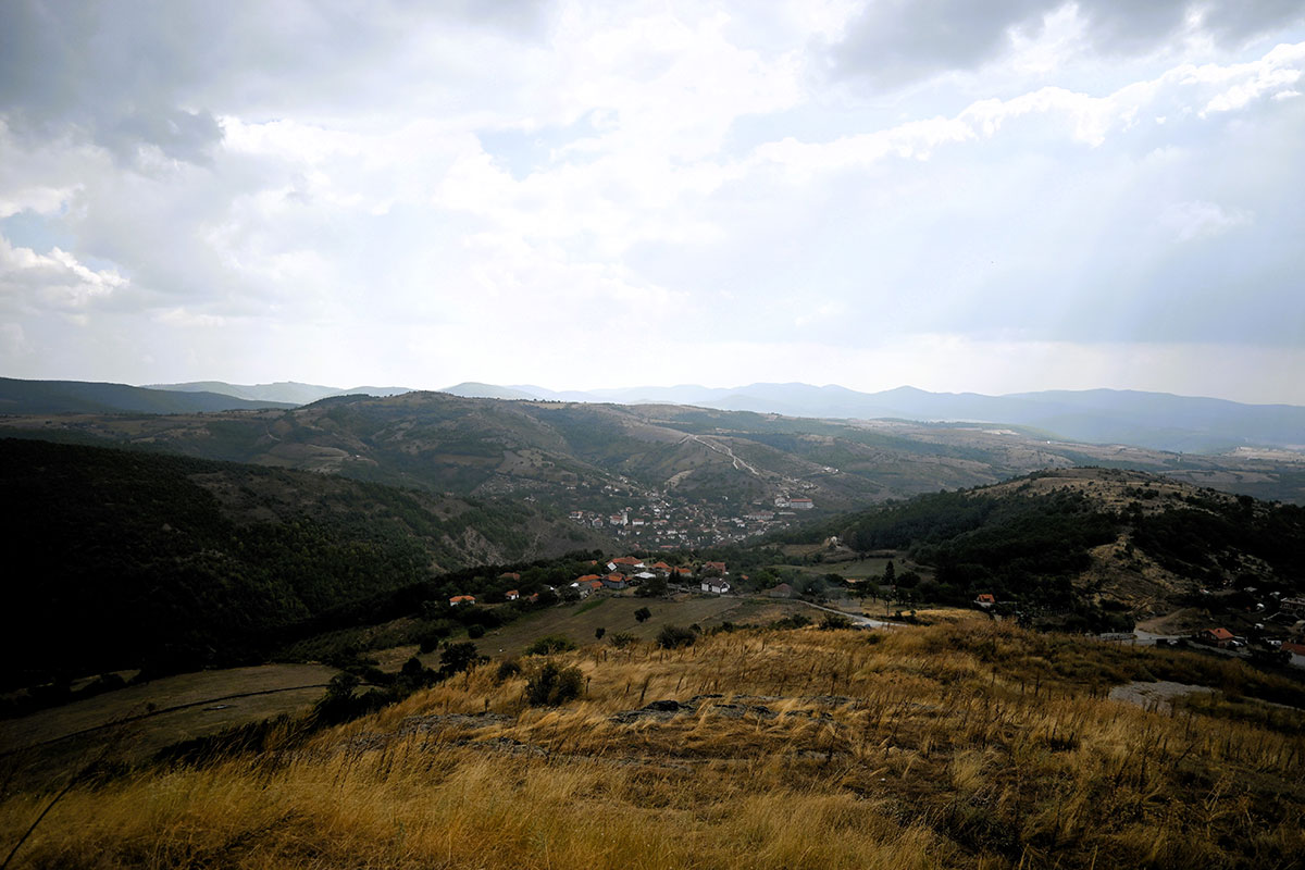
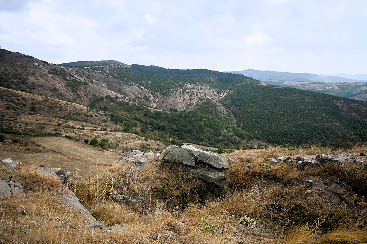
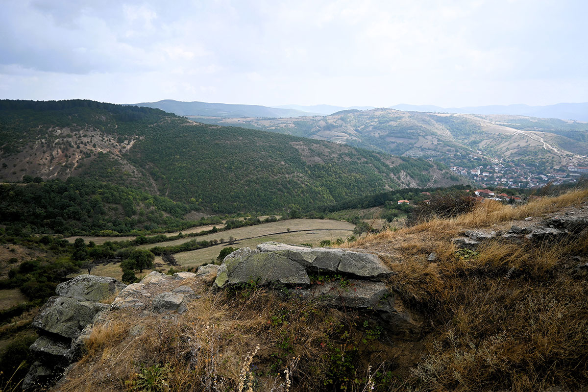
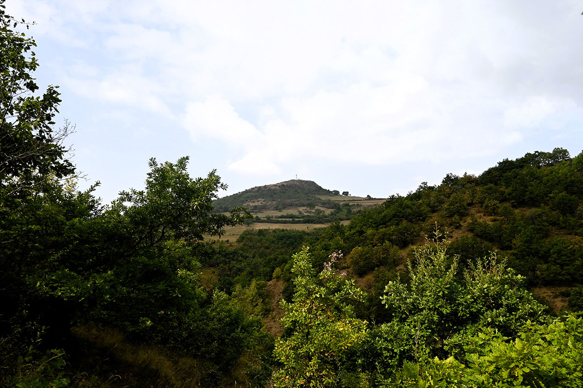
The location is 970m above sea level and has a good view, from where you can see Prishtinë/Priština and the wider region. Veletini used to be a fortress where even today the expression “to the Castle” is used for orientation, as there are also several walls of the fortress in the location.

Georeference: 42.5838328, 21.2430739
Plus Code – Google Maps: 8GJ3H6MV+G6
Category: Nature
Subcategory: Hill/ Viewpoint
Legal protection status: Yes
Is it used for tourism? No
Is there potential for tourism in the future? Yes
Road infrastructure to the location: Partially paved
Signs and orientation to the location: There are road signs
Boards on site: There is an information board

Visited 482 times, 1 Visit today

Posted in Nature and View Point

Related Listings

Qali’s Fountain

H6FW+RWX Janjevo

This fountain was built 50 years ago for humanitarian purposes, until today the water has never stopped. With it, all the residents of Janjevë/Janjevo are supplied with water. The donor of this fountain was Franjo Palić Qali. This tap offers fresh water 24h. Georeference: 42.5746100, 21.2473749 Plus Code – Google…

This location represents a characteristic water source with natural values for the village of Janjevë/Janjevo. Georeference: 42.579840 , 21.254538 Plus Code – Google Maps: 8GJ3H7H3+WR Category: Nature Subcategory: / Legal protection status: No Is it used for tourism? No Is there potential for tourism in the future? Yes Road infrastructure… Read more…

Janjevka River flows through Gornja and Donja Gusterica (Upper and lower Gusterica) and pours into river Sitnica in Lipjan/Lipljan. Janjevka River dries up during summer periods, especially at high temperatures, so water flows only during winter periods. UN-Habitat. (2014-2029). MUNICIPAL DEVELOPMENT PLAN. Gracanica: Municipality of Gracanica Georeference: 42.579697 , 21.254494…