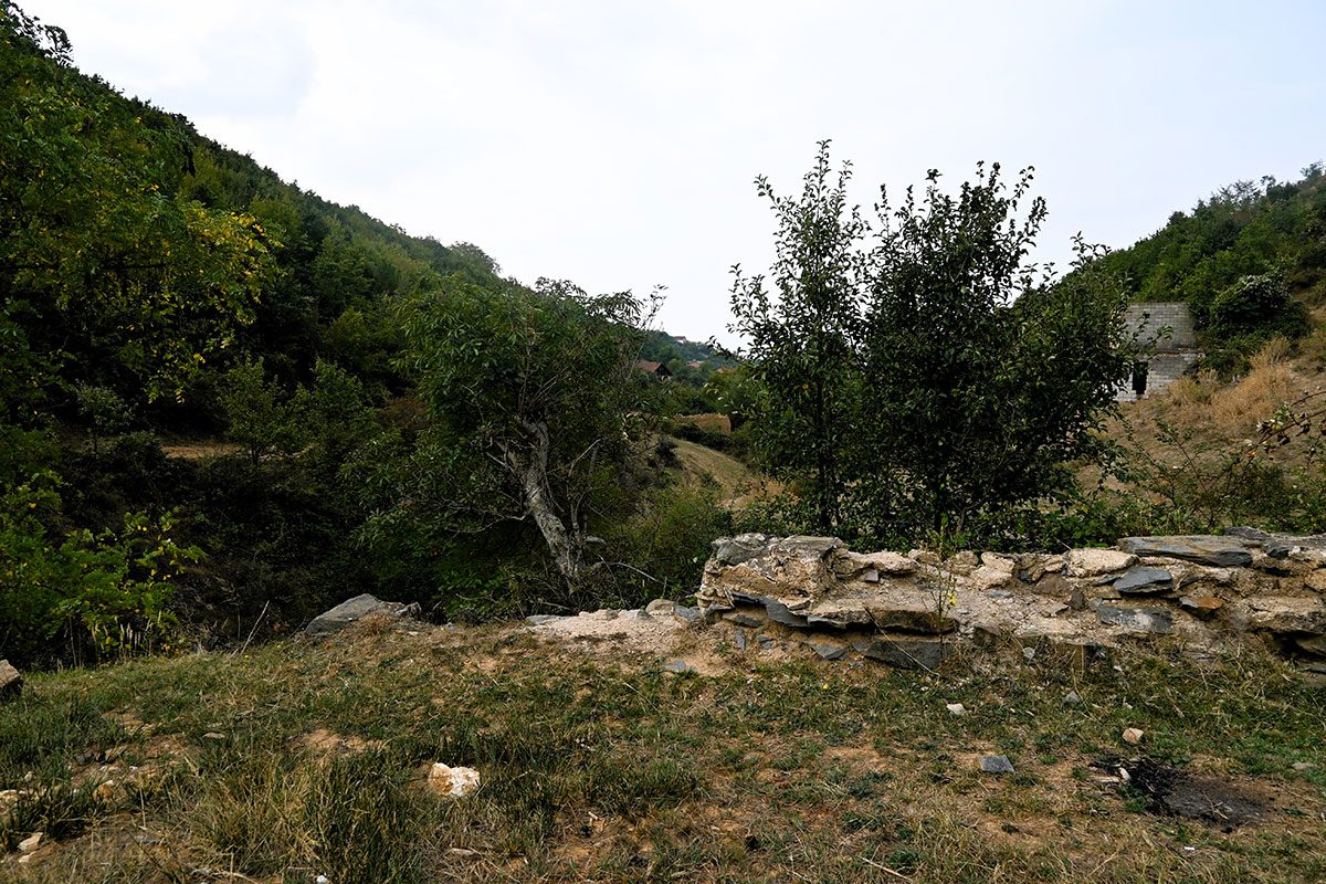
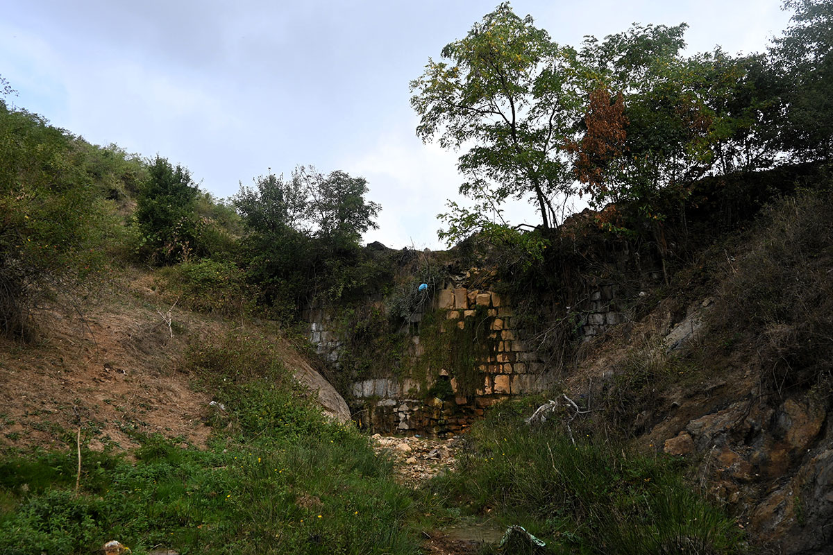
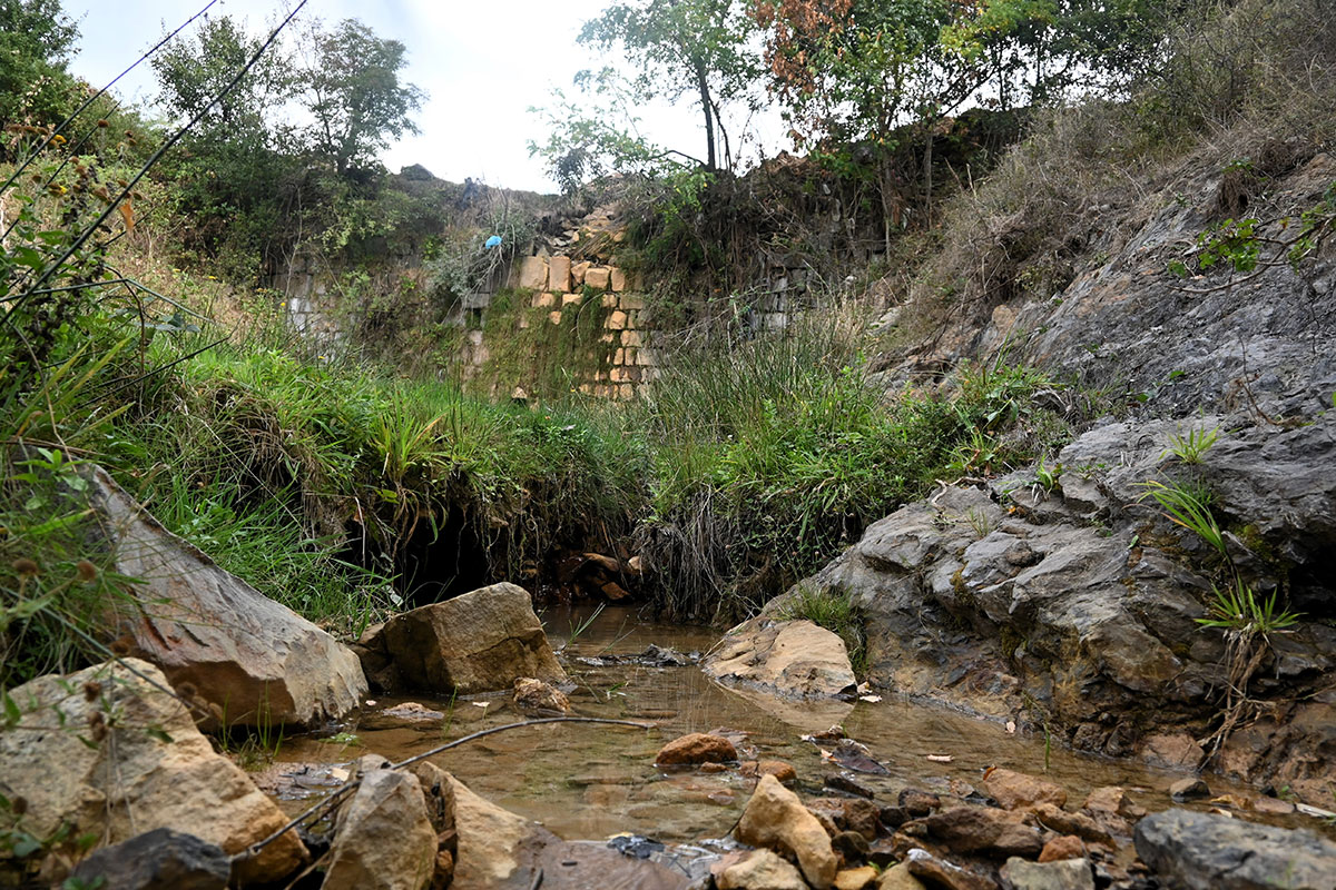
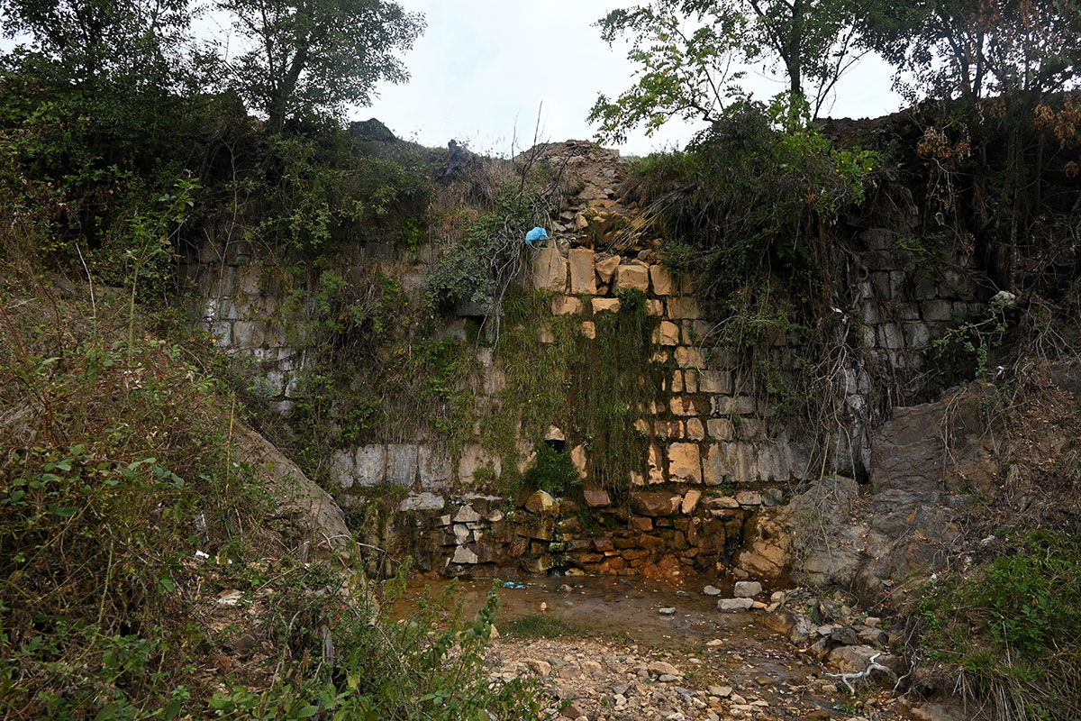
“Janjeva Lake” Dam

8GJ3H7H3+WR

This location represents a characteristic water source with natural values for the village of Janjevë/Janjevo.

Georeference: 42.579840 , 21.254538
Plus Code – Google Maps: 8GJ3H7H3+WR
Category: Nature
Subcategory: /
Legal protection status: No
Is it used for tourism? No
Is there potential for tourism in the future? Yes
Road infrastructure to the location: Not so good
Signs and orientation to the location: There are no road signs
Boards on site: There is no board at all
Visited 429 times, 1 Visit today

Posted in Nature and River

Related Listings

This source of water is over 200 years old, the same is used for domestic needs today. Georeference: 42.486284, 20.929923 Plus Code – Google Maps: FWPH+GX7 Krojmir Category: Nature Subcategory: Water source Legal protection status: Yes Is it used for tourism? Yes Is there potential for tourism in the future?…

Qali’s Fountain

H6FW+RWX Janjevo

This fountain was built 50 years ago for humanitarian purposes, until today the water has never stopped. With it, all the residents of Janjevë/Janjevo are supplied with water. The donor of this fountain was Franjo Palić Qali. This tap offers fresh water 24h. Georeference: 42.5746100, 21.2473749 Plus Code – Google…

Janjevka River flows through Gornja and Donja Gusterica (Upper and lower Gusterica) and pours into river Sitnica in Lipjan/Lipljan. Janjevka River dries up during summer periods, especially at high temperatures, so water flows only during winter periods. UN-Habitat. (2014-2029). MUNICIPAL DEVELOPMENT PLAN. Gracanica: Municipality of Gracanica Georeference: 42.579697 , 21.254494…