“Janjeva Lake” Dam

8GJ3H7H3+WR

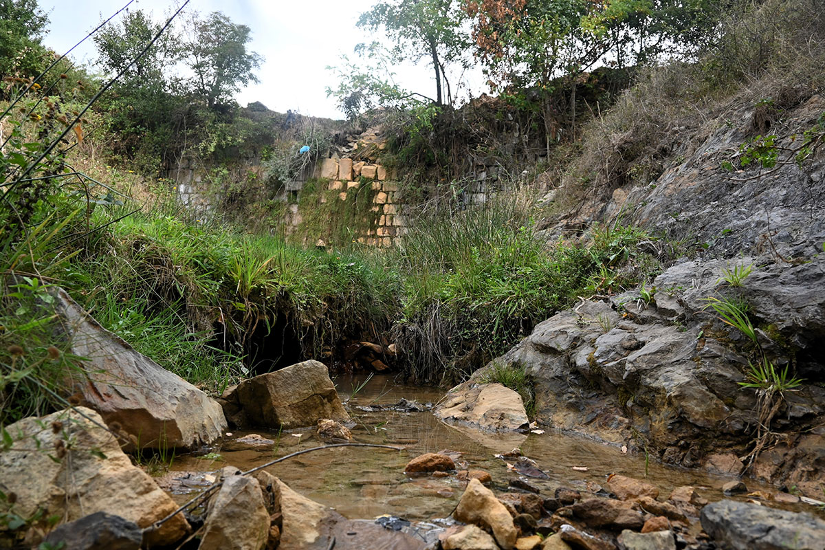
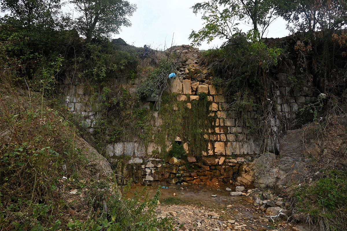
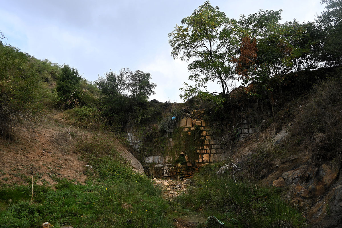
This location represents a characteristic water source with natural values for the village of Janjevë/Janjevo.

Georeference: 42.579840 , 21.254538
Plus Code – Google Maps: 8GJ3H7H3+WR
Category: Nature
Subcategory: /
Legal protection status: No
Is it used for tourism? No
Is there potential for tourism in the future? Yes
Road infrastructure to the location: Not so good
Signs and orientation to the location: There are no road signs
Boards on site: There is no board at all

Visited 313 times, 2 Visits today

Posted in Nature and River

Related Listings

Janjevka River flows through Gornja and Donja Gusterica (Upper and lower Gusterica) and pours into river Sitnica in Lipjan/Lipljan. Janjevka River dries up during summer periods, especially at high temperatures, so water flows only during winter periods. UN-Habitat. (2014-2029). MUNICIPAL DEVELOPMENT PLAN. Gracanica: Municipality of Gracanica Georeference: 42.579697 , 21.254494…

The Gadime Cave is a very important natural monument, which is located in the village of Gadime near Lipjan/Lipljan, Kosovë/Kosovo, and is 1500 meters long. For tourists, only the first 1300 meters of the cave are open for use, as the rest of the cave is still not possible to… Read more…

Water Source

H6FX+2V2 Janjevo

This location serves the residents of Janjevë/Janjevo for water supply. It is an old and characteristic fountain for the village of Janjevë/Janjevo. Georeference: 42.5725004 , 21.2496500 Plus Code – Google Maps: H6FX+2V2 Јаnjevë Category: Nature Subcategory: Water Source Legal protection status: No Is it used for tourism? No Is there… Read more…