Veletini – The Viewpoint of Janjevë/Janjevo

8GJ3H6MV+G6

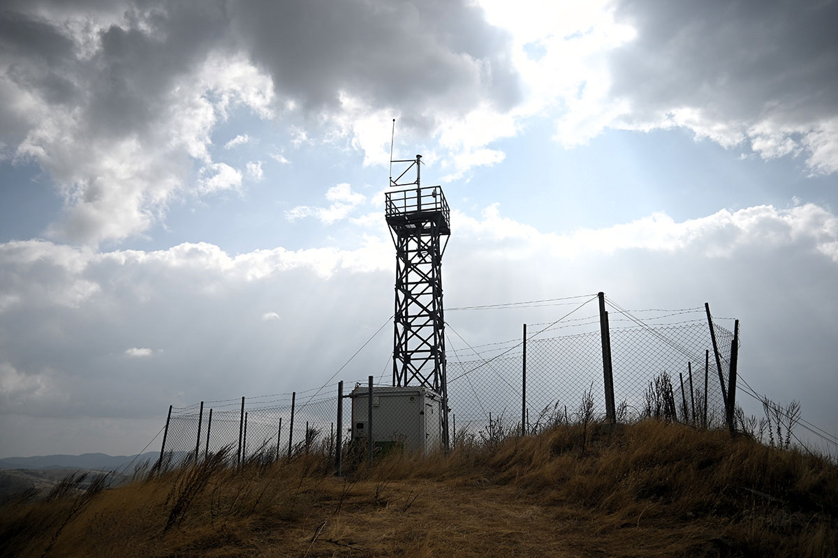
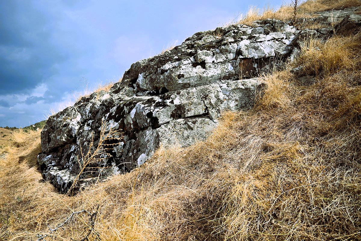
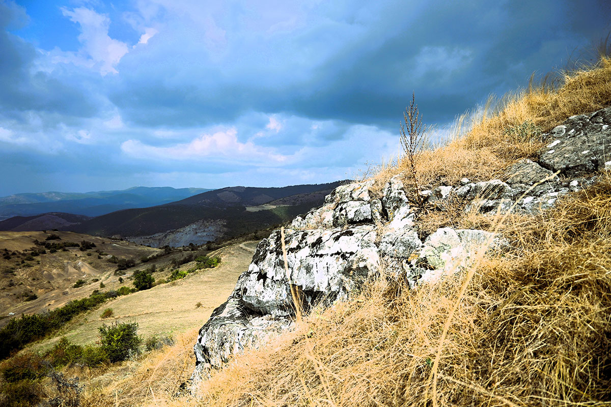
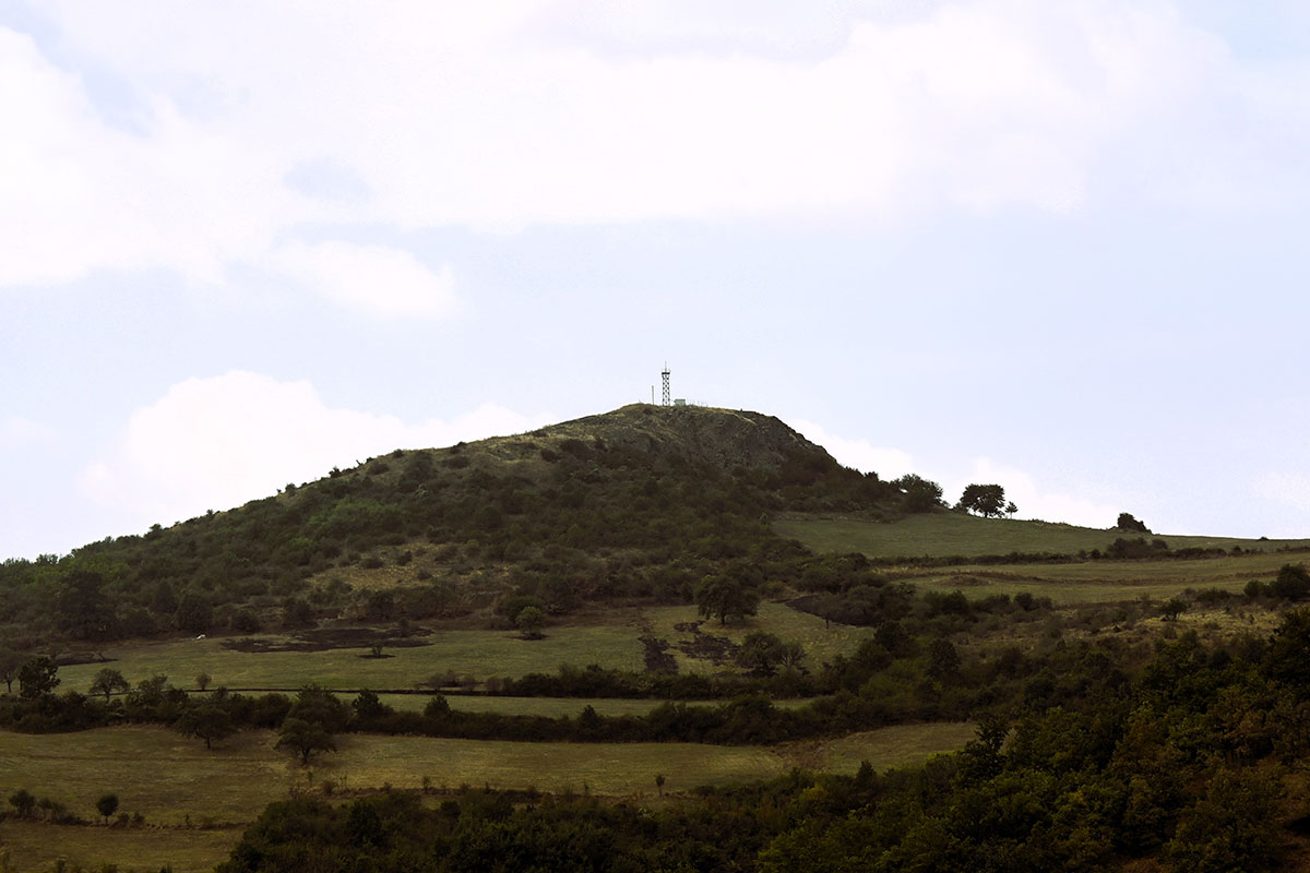
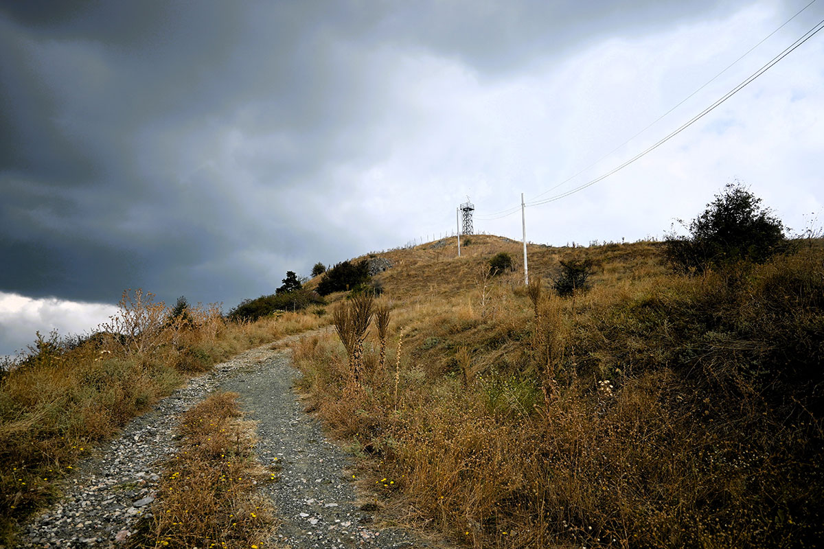
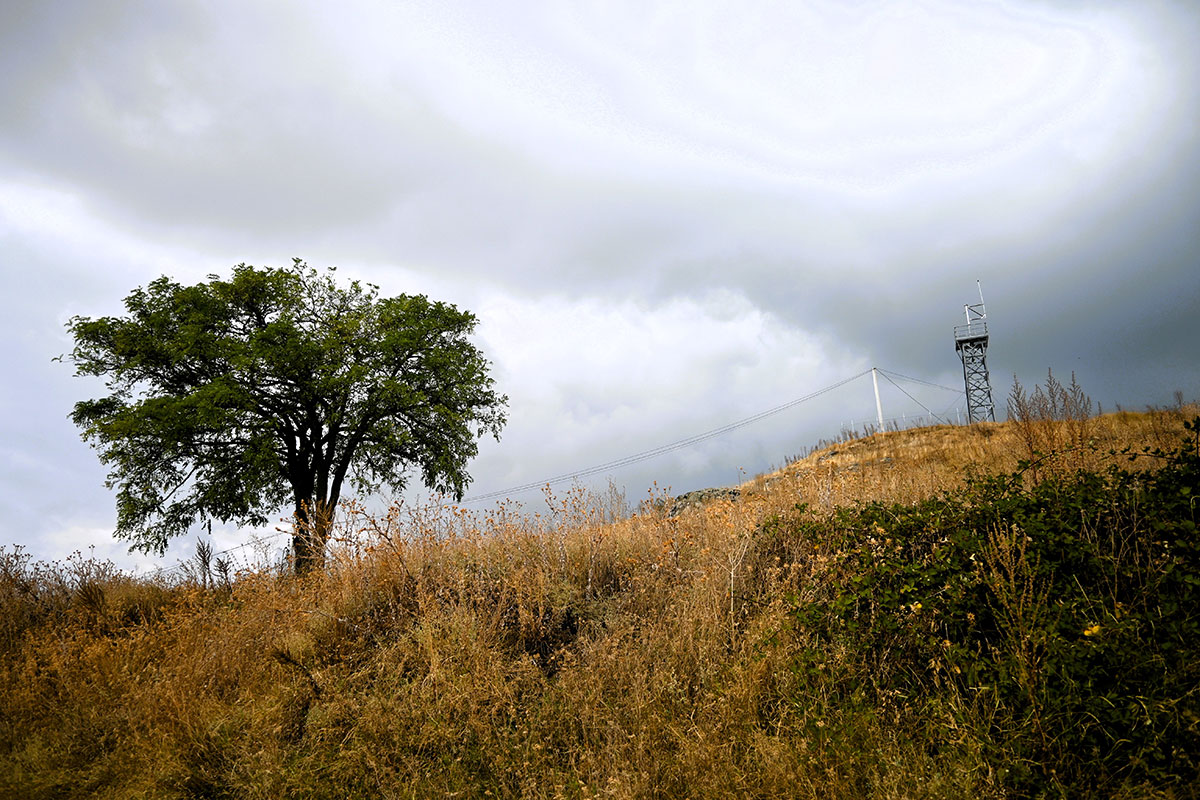
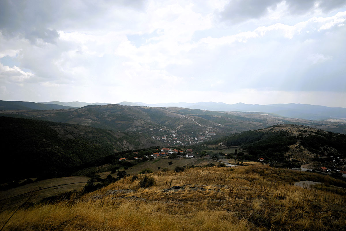
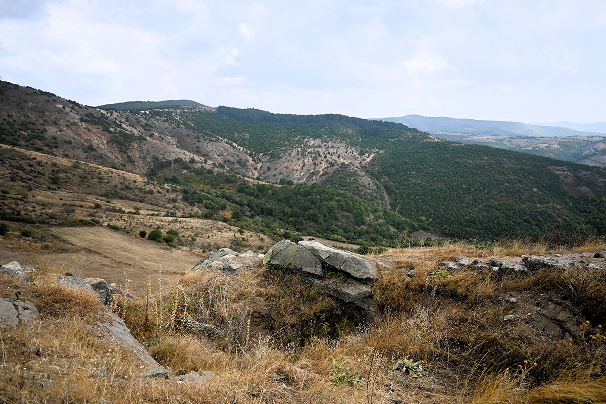
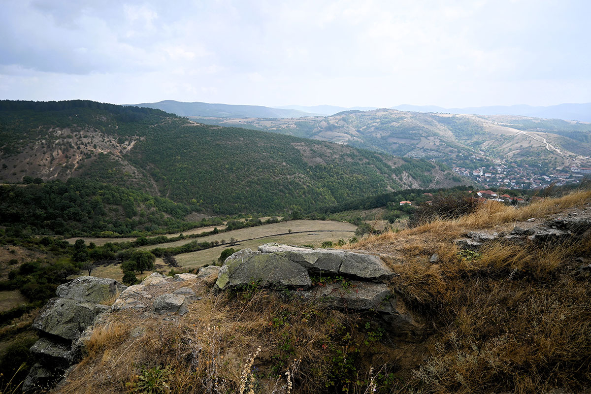
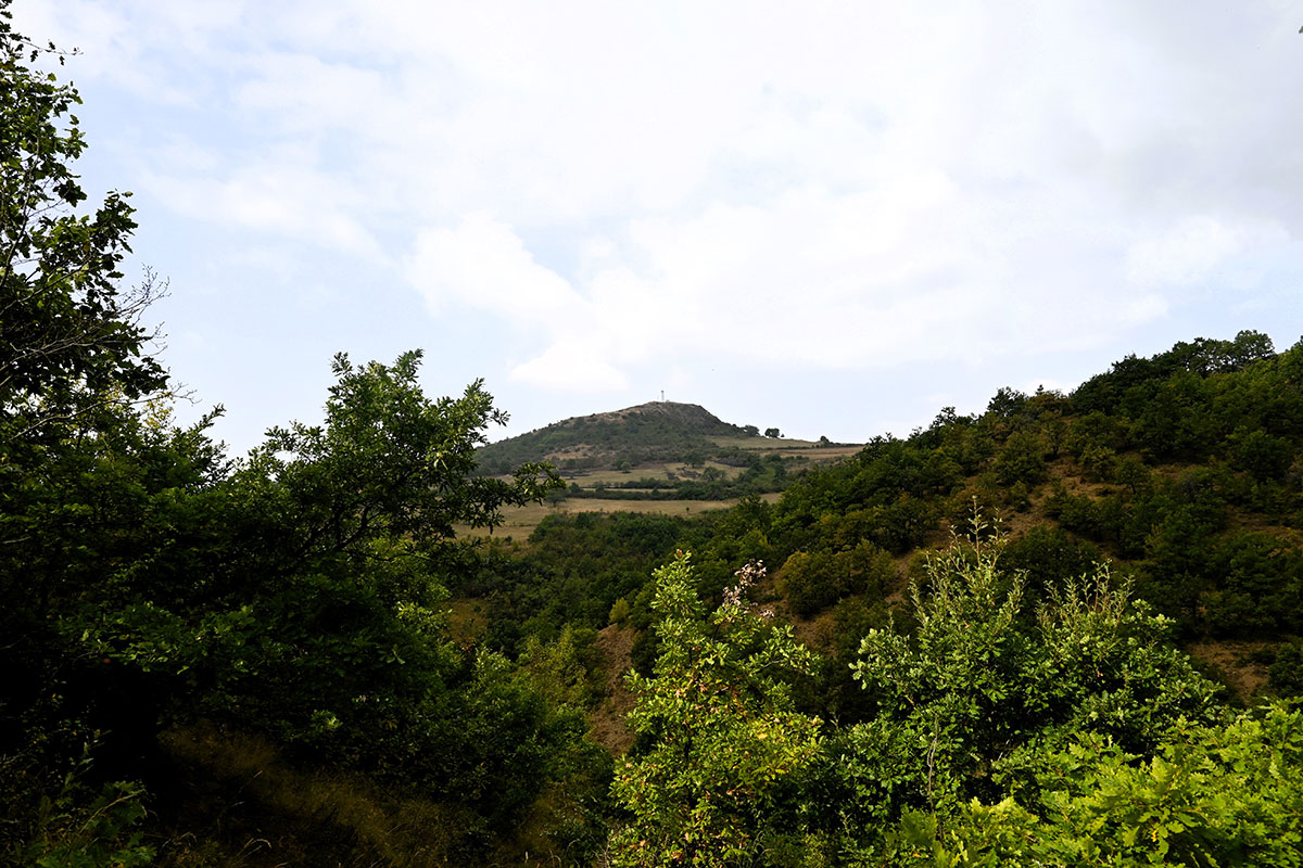
The location is 970m above sea level and has a good view, from where you can see Prishtinë/Priština and the wider region. Veletini used to be a fortress where even today the expression “to the Castle” is used for orientation, as there are also several walls of the fortress in the location.

Georeference: 42.5838328, 21.2430739
Plus Code – Google Maps: 8GJ3H6MV+G6
Category: Nature
Subcategory: Hill/ Viewpoint
Legal protection status: Yes
Is it used for tourism? No
Is there potential for tourism in the future? Yes
Road infrastructure to the location: Partially paved
Signs and orientation to the location: There are road signs
Boards on site: There is an information board

Visited 348 times, 2 Visits today

Posted in Nature and View Point

Related Listings

Janjevka River flows through Gornja and Donja Gusterica (Upper and lower Gusterica) and pours into river Sitnica in Lipjan/Lipljan. Janjevka River dries up during summer periods, especially at high temperatures, so water flows only during winter periods. UN-Habitat. (2014-2029). MUNICIPAL DEVELOPMENT PLAN. Gracanica: Municipality of Gracanica Georeference: 42.579697 , 21.254494…

Water Source 1

H7G2+GF5 Janjevo

This location serves the residents of Janjevë/Janjevo for water supply. It is an old and characteristic fountain for the village of Janjevë/Janjevo. Georeference: 42.5762545, 21.2512275 Plus Code – Google Maps: H7G2+GF5 Јаnjevë Category: Nature Subcategory: Water Source Legal protection status: No Is it used for tourism? No Is there potential… Read more…

This location represents a characteristic water source with natural values for the village of Janjevë/Janjevo. Georeference: 42.579840 , 21.254538 Plus Code – Google Maps: 8GJ3H7H3+WR Category: Nature Subcategory: / Legal protection status: No Is it used for tourism? No Is there potential for tourism in the future? Yes Road infrastructure… Read more…