Janjeva


Overview
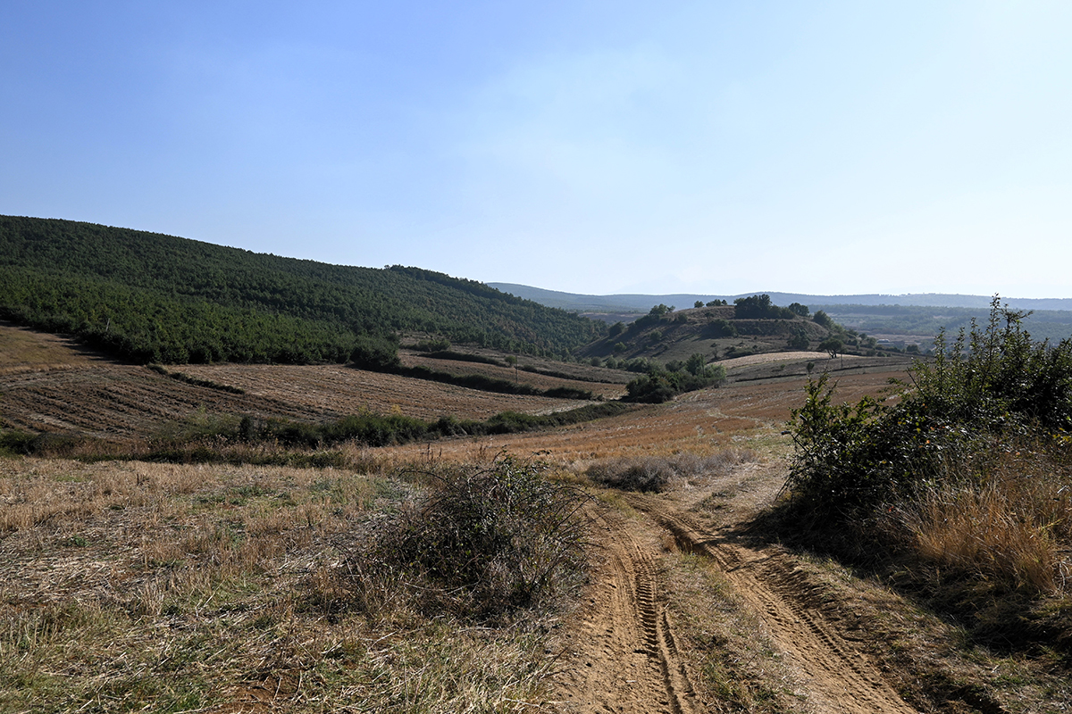
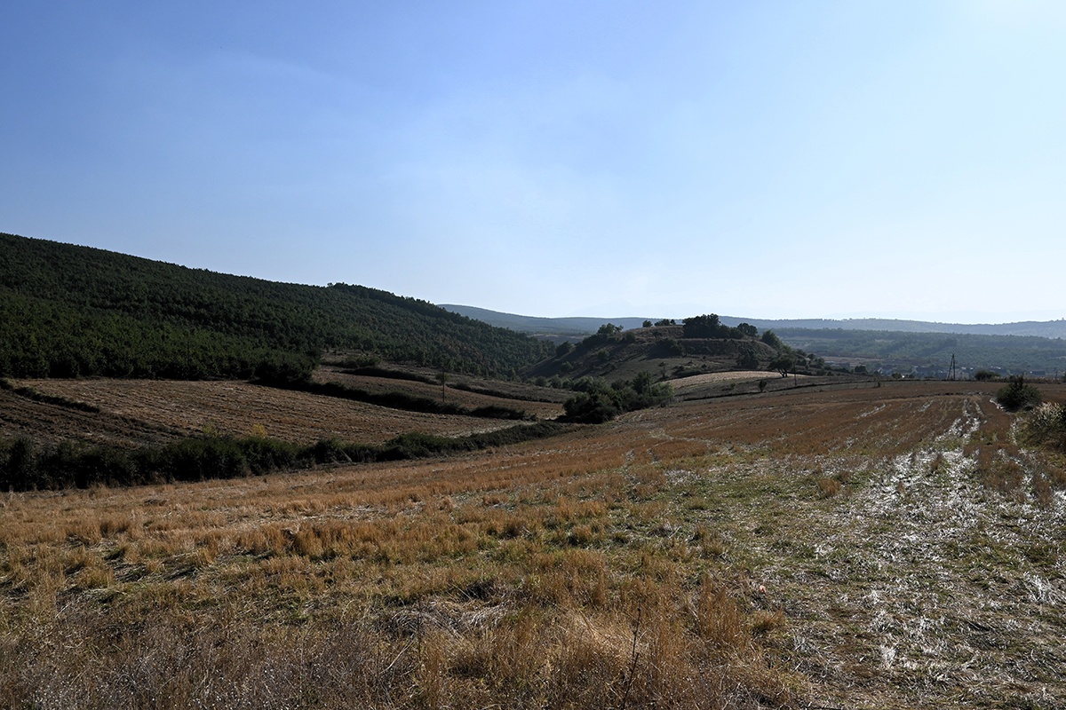
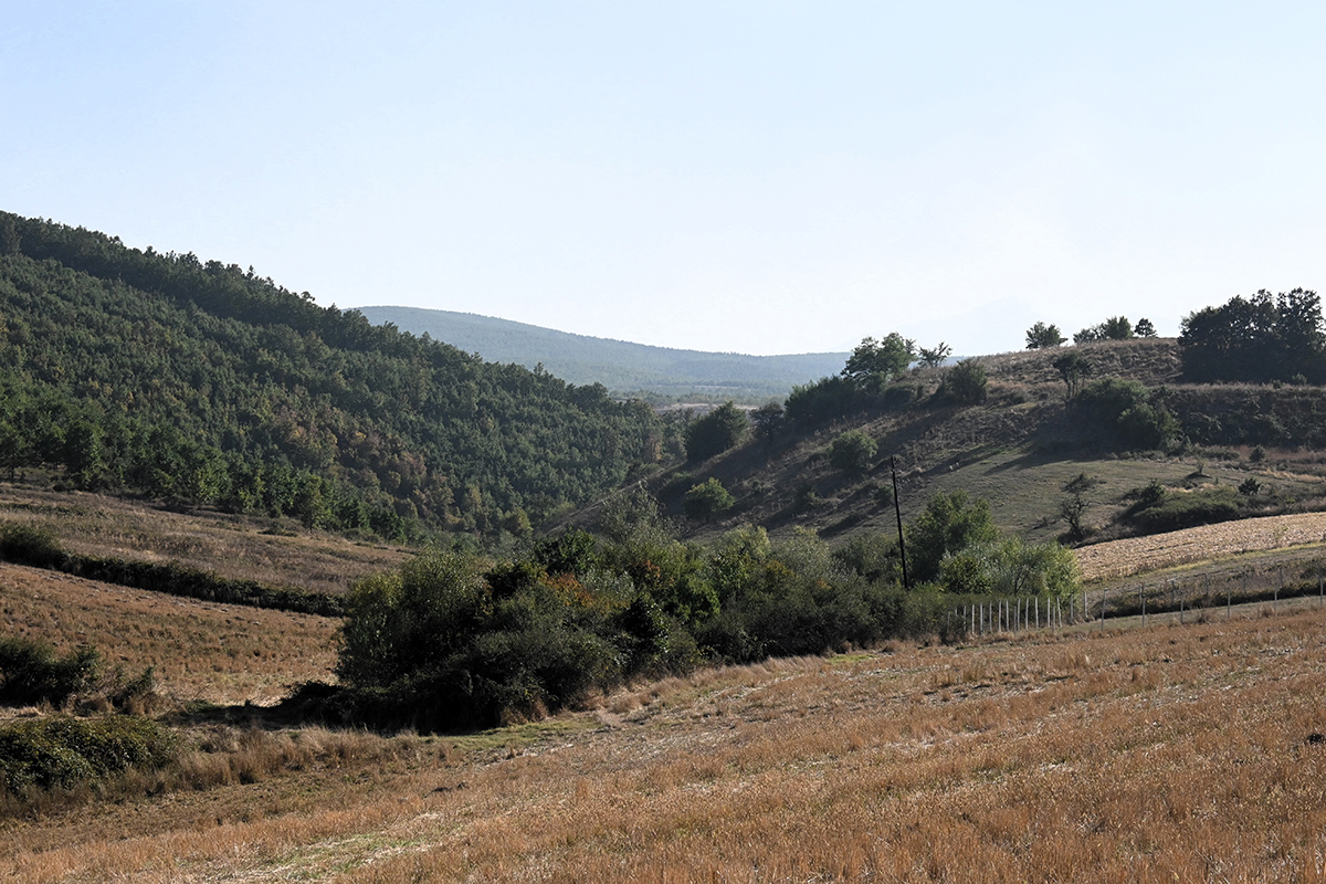
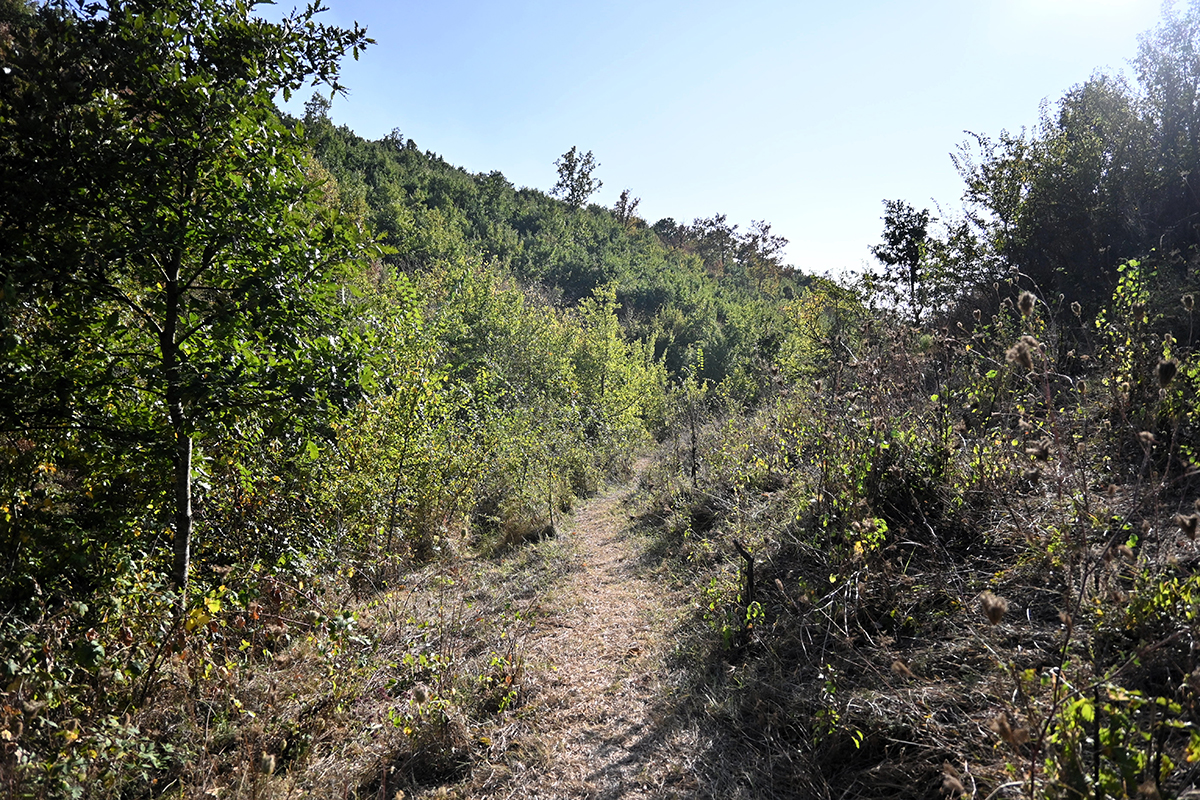
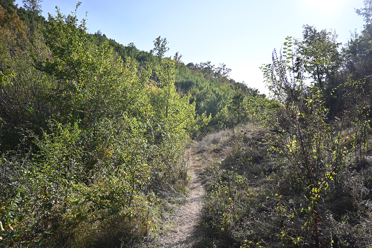
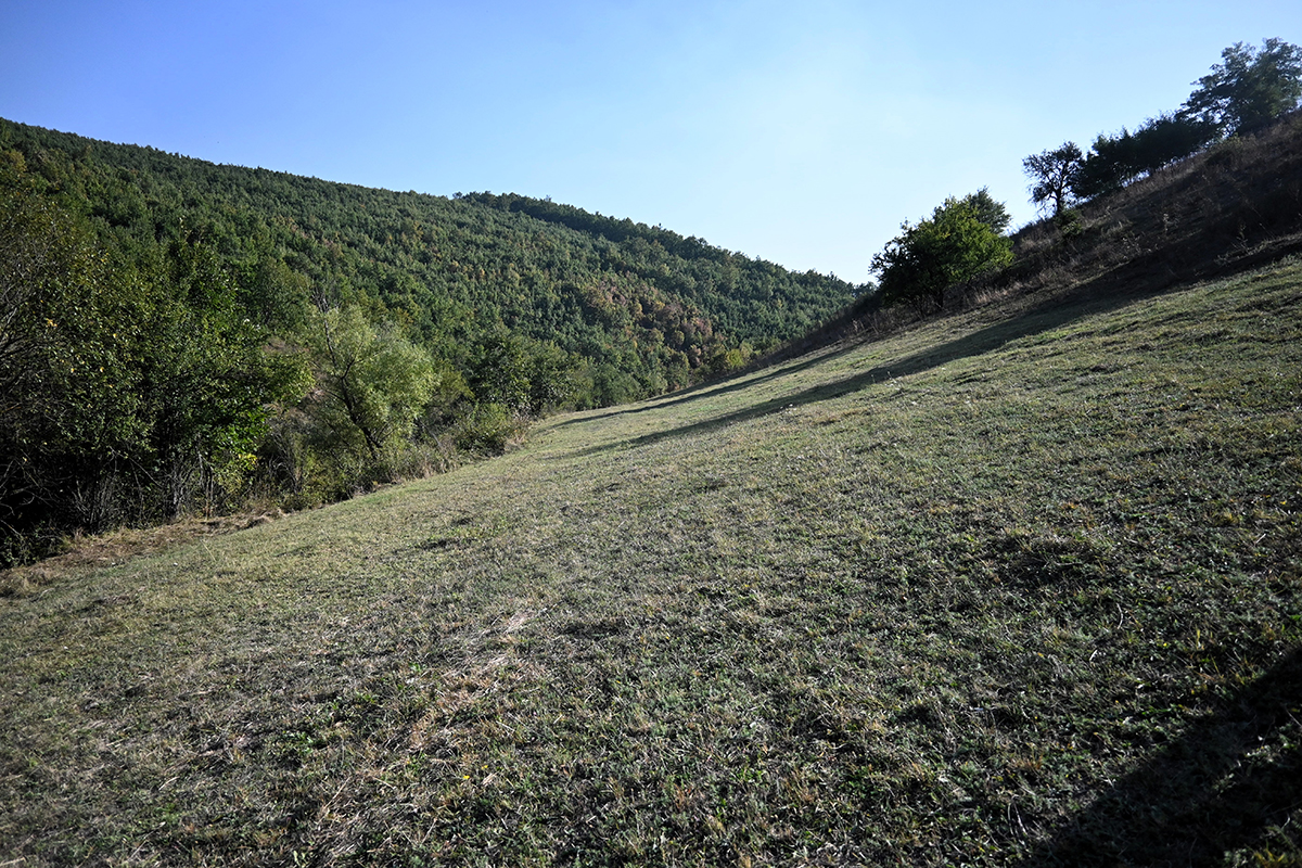
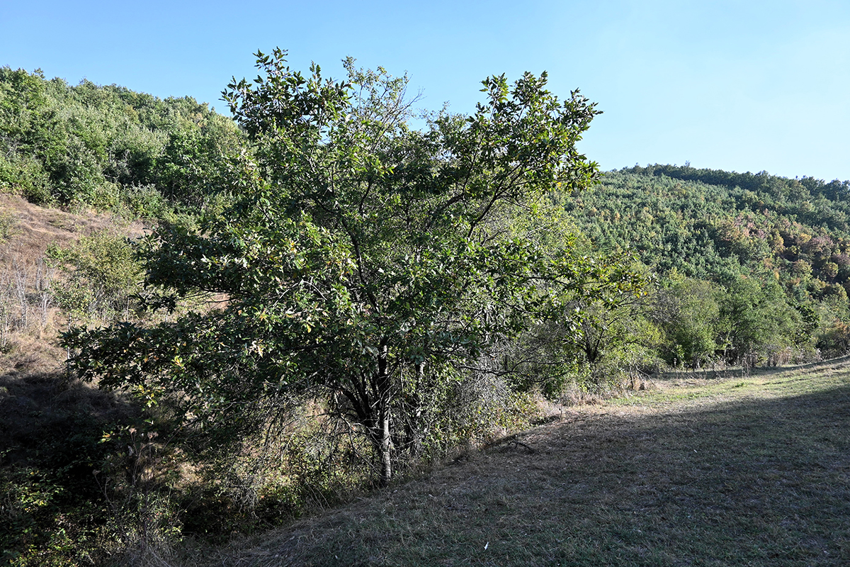
The archaeological site of Gradinë/Gradišta is located on top of a plateau of the eponymous hill, located in the western part in an area rich in minerals of the Malet e Zhegocit/Žegovacke planine. The castle has an exceptional geostrategic position and is a typical mountain settlement of the Copper Age and Iron Age with the characteristics of a fortified area. The castle is located in the eastern part of Gadime e Epërme/ Gornja Gadime village. The site was archaeologically explored during the years 1973–1974, which resulted in the documented remains of the Copper Age, namely the Bubanj Sallkuca – Krivadol culture. The castle also appears to have been used during the Late Iron Age. However, it is important to say that during the Eneolithic period, the castle was rebuilt on several occasions and the discovery of ceramic fragments decorated with the graphite technique as well as with laceration, motifs that were most likely made with sharp tools, is very significant. On the other hand, in the later phase of the continuation of life, during the later part of the Iron Age, some interesting fragments of imported Greek objects were discovered.
Berisha, Milot (2012). “Archaeological Guide of Kosovo” (PDF) (in English). Archaeological Institute and Ministry of Culture, Youth and Sports. page 35. Archived from the original (PDF) on April 17, 2019. Retrieved September 17, 2020.
Georeference: 42.482816, 21.243466
Plus Code – Google Maps: 8GJ3F6MV+49
Category: Culture
Subcategory: Archeological site
Legal protection status: Category: Archaeological heritage
Subcategory: Archaeological Site /Reserve
Unique code: 691
Is it used for tourism? NO
Is there potential for tourism in the future? Yes
Road infrastructure to the location: Not accessible
Signs and orientation to the location: No road signs
Boards on site: There is no table at all





Get Directions
Visited 433 times, 2 Visits today