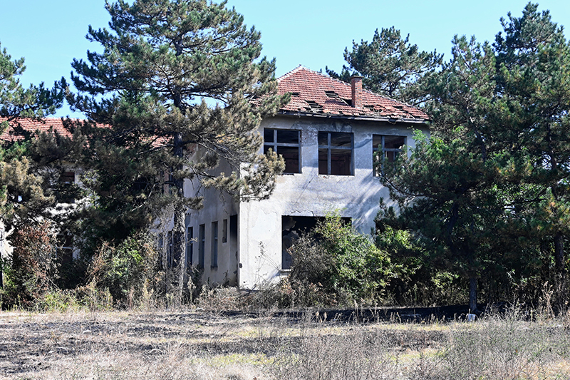
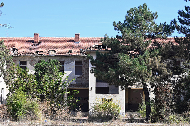
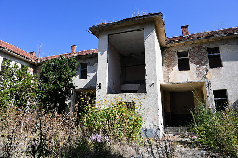
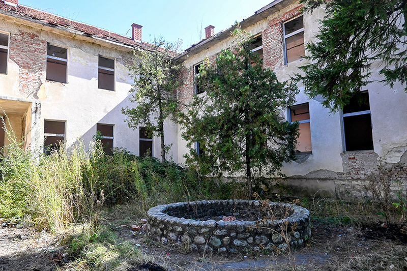
The Albanian school in Banullë / Bandulić

G574+R9C Banullë

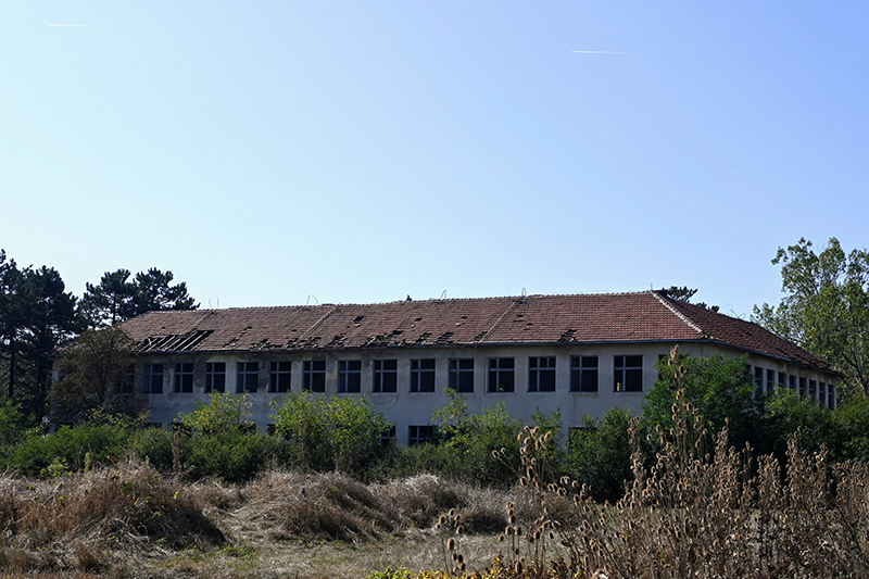
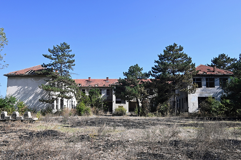
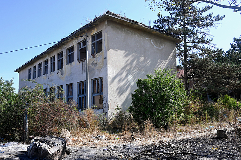
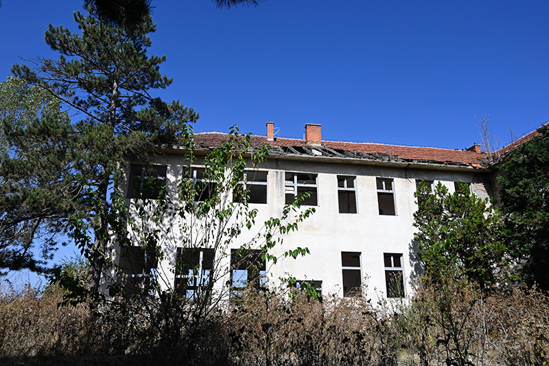
Children/students from several surrounding villages study in this school and it has a large capacity of up to 500 students. The “Emin Duraku” school was a symbol of education, during the years 1999 it served as a school for 32 villages of the municipality of Lipjan/Lipljan.

Georeference: 42.5145563, 21.1558988
Plus Code – Google Maps: G574+R9C Banullë
Category: Culture
Subcategory: Facility/School
Legal protection status: No
Is it used for tourism? No
Is there potential for tourism in the future? No
Road infrastructure to the location: Partially paved
Signs and orientation to the location: No road signs
Boards on site: There is no table at all

Visited 402 times, 3 Visits today

Posted in Culture and Facility / School

Related Listings

Cultural heritage monument located in Gushtericë e Epërme/Gornja Gušterica. Georeference: 42.545766, 21.180701 Plus Code – Google Maps: G5WJ+874 Category: Culture Subcategory: Traditional building Legal protection status: Category: Arceological Heritage Subcategory: Monument/Ensemble Unique Code: 2913 Is it used for tourism? NO Is there potential for tourism in the future? Yes Road… Read more…

Cultural heritage monument located in Baicë/Banjica. Georeference: 42.510546 20.902986 Plus Code – Google Maps: 8GJ2GW63+65 Category: Culture Subcategory: Archeological site Legal protection status: Category: Archaeological heritage Subcategory: Archaeological Site /Reserve Unique code: 684 Is it used for tourism? NO Is there potential for tourism in the future? NO Road infrastructure…