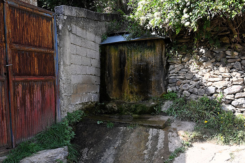
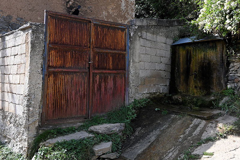
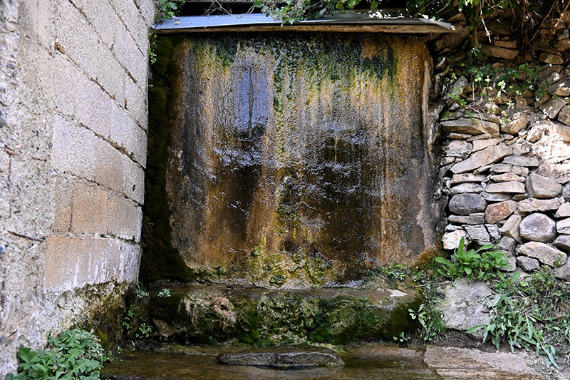
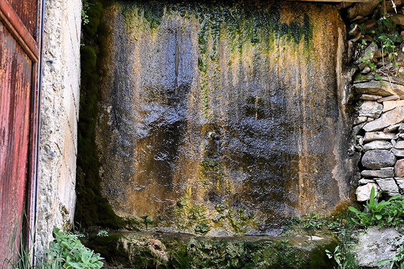
Water Source 1

H7G2+GF5 Janjevo

This location serves the residents of Janjevë/Janjevo for water supply. It is an old and characteristic fountain for the village of Janjevë/Janjevo.

Georeference: 42.5762545, 21.2512275
Plus Code – Google Maps: H7G2+GF5 Јаnjevë
Category: Nature
Subcategory: Water Source
Legal protection status: No
Is it used for tourism? No
Is there potential for tourism in the future? Yes
Road infrastructure to the location: Partially paved
Signs and orientation to the location: There are no road signs
Boards on site: There is no board at all

Visited 393 times, 1 Visit today

Posted in Nature and Water Source

Related Listings

This source of water is over 200 years old, the same is used for domestic needs today. Georeference: 42.486284, 20.929923 Plus Code – Google Maps: FWPH+GX7 Krojmir Category: Nature Subcategory: Water source Legal protection status: Yes Is it used for tourism? Yes Is there potential for tourism in the future?…

Janjevka River flows through Gornja and Donja Gusterica (Upper and lower Gusterica) and pours into river Sitnica in Lipjan/Lipljan. Janjevka River dries up during summer periods, especially at high temperatures, so water flows only during winter periods. UN-Habitat. (2014-2029). MUNICIPAL DEVELOPMENT PLAN. Gracanica: Municipality of Gracanica Georeference: 42.579697 , 21.254494…